DISTANCE
618 KM
TIME
6-9 DAYS
ELEVATION GAIN
12.540 M
ASPHALT
30%
HIGHEST POINT
1586 M
DIFICULTY
EXPERT
Introduction
Still present in the map of many villages in the País Valencià, «camí assagador», or «de l’assagador» or «assegador», or in Spanish «azagador», refers to a type of cattle route dating back to the Middle Ages. Roads of a much more modest width than the ‘cañadas’, on which the herd had to follow behind, one animal after the other, from the arabic word ‘saqa’.
The main form of transhumance in the ancient kingdom of Valencia was the alternation of the high mountain pastures of the interior and the low agricultural pastures of the coast. Every year, thousands of herds had to pass through a multitude of villages on a seasonal basis.
This network of roads was therefore created, often laid out on the periphery, avoiding the main centres of population and constantly crossing the radial roads coming from the villages.
In this way, the animals, which could carry possible diseases, circulated at a certain distance from the villages, without disturbing their course and without damaging the surrounding fields on their way to the mountains.
The legacy of this transhumance and its livestock trails is in some way also the origin of this route, in which, starting from the sea, we will go in search of the inland mountain ranges of the Valencian territory, avoiding whenever necessary the main roads and the large population centres, like the beasts of burden, dirty and smelly, in search of fresher pastures.
The Territory
The route starts in the city of Gandía, capital of La Safor and well accessible by suburban train from the city of Valencia. From the fields surrounding Gandía, the route will soon take you straight into the heart of the Valencian mountains, always seeking a balance between steep climbs, well-maintained tracks and small villages where you can refuel. It won’t always be easy, we warn you, but we do promise to surprise you with places of particular charm. And after keeping you busy and away from almost everything for a few days, it will take you back to the heights, along the Sierra Calderona to Sagunto, a historic city of Roman origin and also perfectly connected to take you back to Valencia, Aragon or Catalonia.
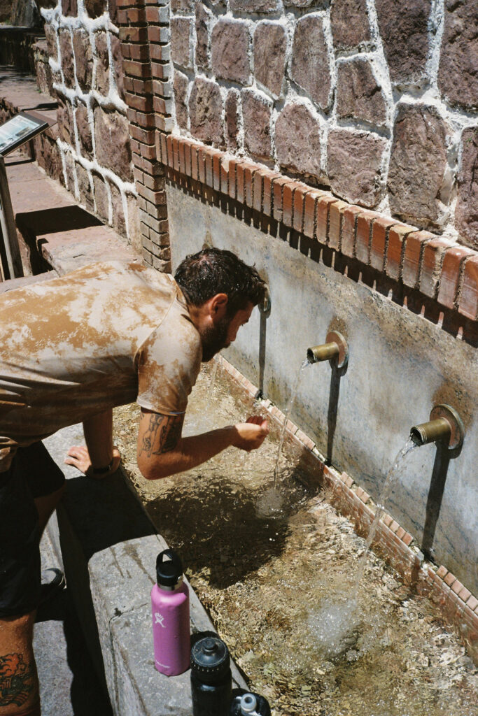
As well as touching one of the extremes of the Serranía Celtibérica, the Southern Lapland, as it passes through the regions of Plana de Utiel and Serranos, a part of the route also passes through the Serranía Levantina. This small region is ranked as the third least densely populated on the Iberian Peninsula. This region comprises 43 municipalities between Albacete, Cuenca and Valencia, with a population density of 8.47 inhabitants per km2. This means that in some sections of the route you can spend up to 65 km without any towns to refuel, so plan your food and water reserves carefully before you start pedaling.
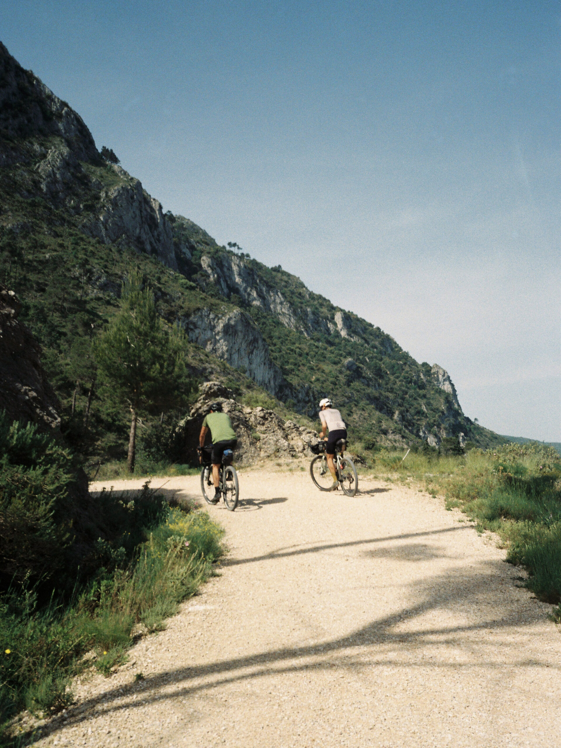
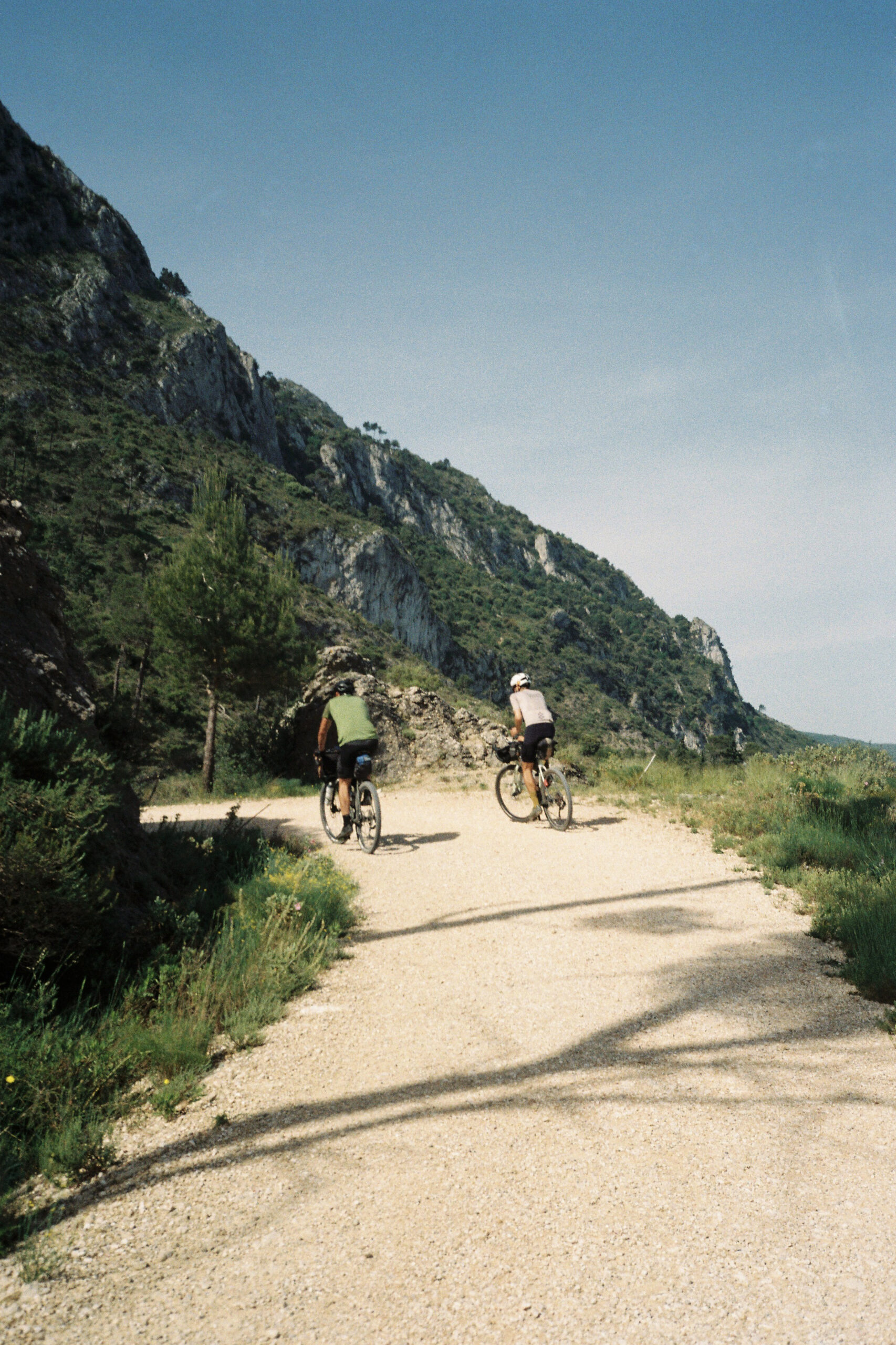
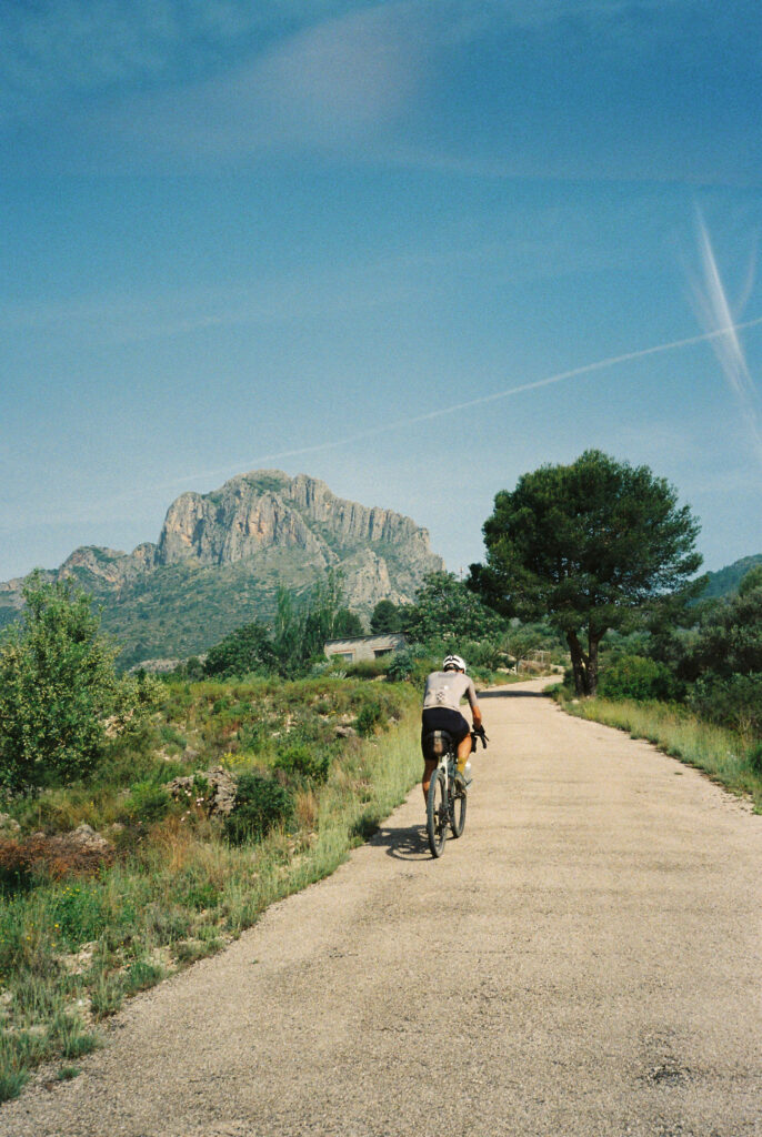
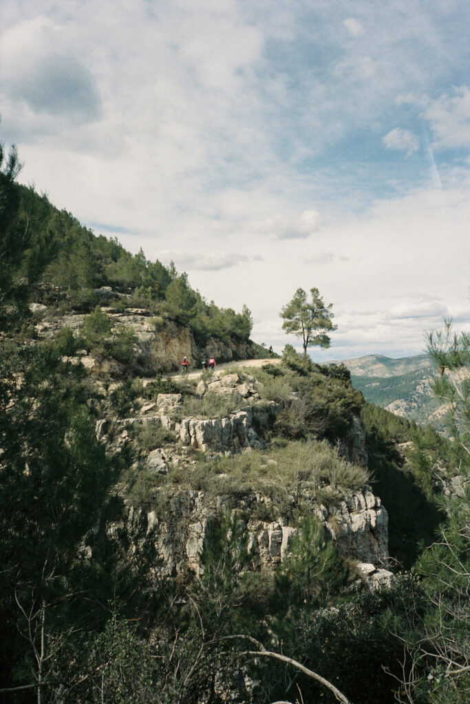
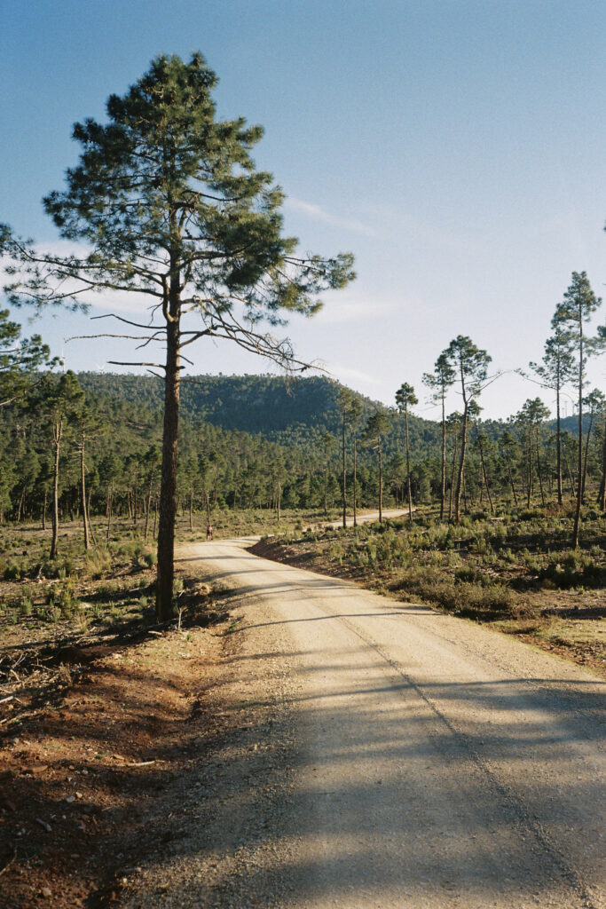
We have tried to link together as many kilometers of unpaved tracks, with low traffic and in good condition as possible. We have also made an important effort to eliminate from the route all those kilometers of tracks that are too broken and hardly cyclable, which are not few in our territory. However, a warning for those who are not familiar with this area of the Mediterranean: the climbs are rarely long, but they exceed 10-15% gradients easily. Take it easy and walk if necessary, after all, it’s not a race. Almost every section of the route has 2000m of elevation gain per 100km, but don’t let this discourage you, half of it will be downhill.
The Territory
The route starts in the city of Gandía, capital of La Safor and well accessible by suburban train from the city of Valencia. From the fields surrounding Gandía, the route will soon take you straight into the heart of the Valencian mountains, always seeking a balance between steep climbs, well-maintained tracks and small villages where you can refuel. It won’t always be easy, we warn you, but we do promise to surprise you with places of particular charm. And after keeping you busy and away from almost everything for a few days, it will take you back to the heights, along the Sierra Calderona to Sagunto, a historic city of Roman origin and also perfectly connected to take you back to Valencia, Aragon or Catalonia.
As well as touching one of the extremes of the Serranía Celtibérica, the Southern Lapland, as it passes through the regions of Plana de Utiel and Serranos, a part of the route also passes through the Serranía Levantina. This small region is ranked as the third least densely populated on the Iberian Peninsula. This region comprises 43 municipalities between Albacete, Cuenca and Valencia, with a population density of 8.47 inhabitants per km2. This means that in some sections of the route you can spend up to 65 km without any towns to refuel, so plan your food and water reserves carefully before you start pedaling.
We have tried to link together as many kilometers of unpaved tracks, with low traffic and in good condition as possible. We have also made an important effort to eliminate from the route all those kilometers of tracks that are too broken and hardly cyclable, which are not few in our territory. However, a warning for those who are not familiar with this area of the Mediterranean: the climbs are rarely long, but they exceed 10-15% gradients easily. Take it easy and walk if necessary, after all, it’s not a race. Almost every section of the route has 2000m of elevation gain per 100km, but don’t let this discourage you, half of it will be downhill.
SEGMENTS
SEGMENTOS
SEGMENTS
SEGMENT 1:
Gandia - Font De La Figuera
105 km – 2.120 m
In just 100km, and playing «Sambori» on the border between Valencia and Alicante, this first part of the route will take us from the fertile plain of La Safor to one of the eastern edges of the province of Valencia, on the boundary between the Castilian plateau and the Levantine mountain ranges.
After a few kilometers of rather flat terrain through the fields of Gandía, the route will take us along the most spectacular stretch of the Serpis greenway, the part between Villalonga and L’Orxa.
The first meters of ascent starts after Beniarrés, to climb up to the Benicadell and Agullent mountain ranges. In this second mountain range we will find the first free refuge that we will come across, small and without a nearby fountain, but quite peculiar, near the Cava de la Pedrera.
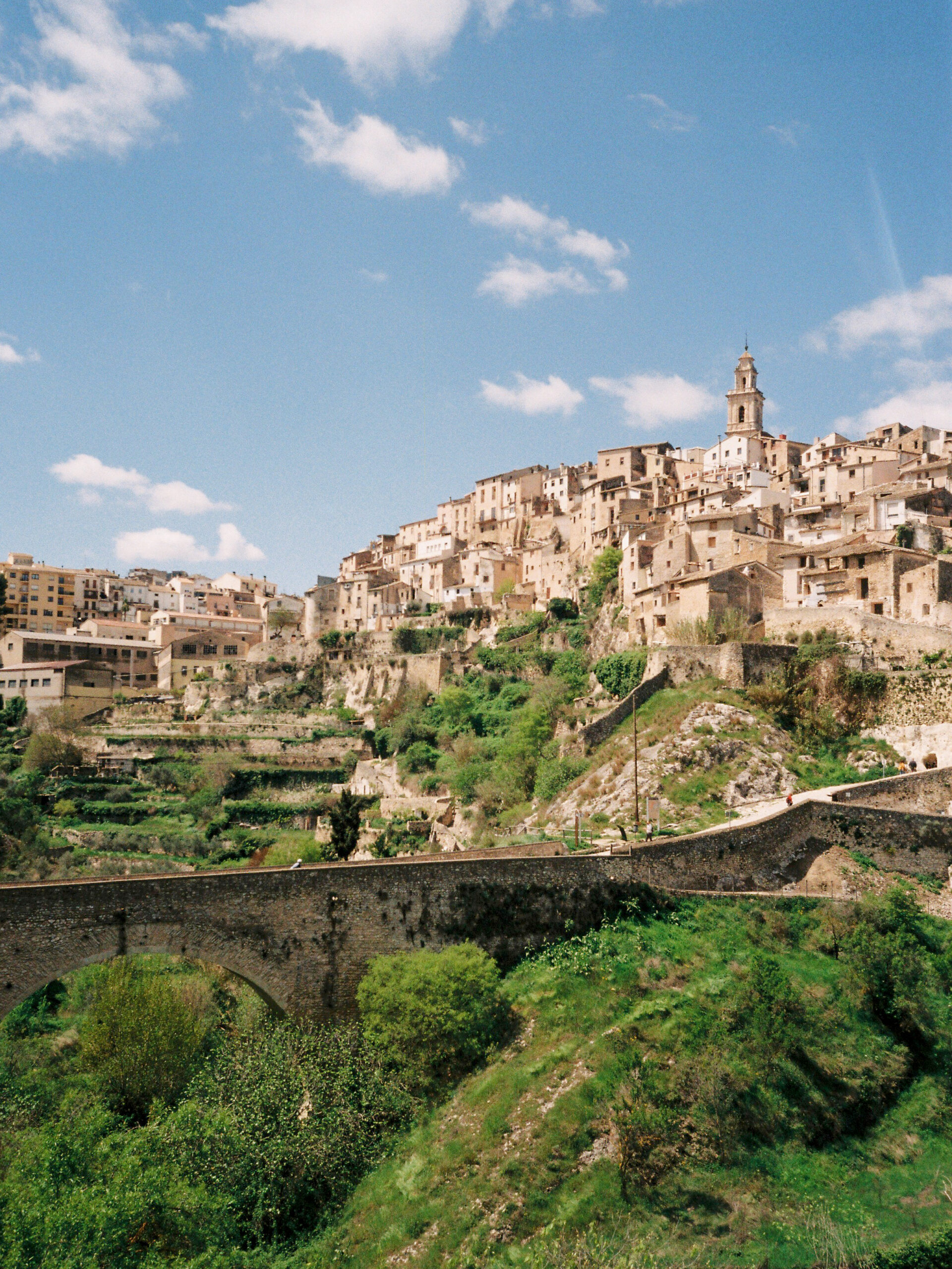
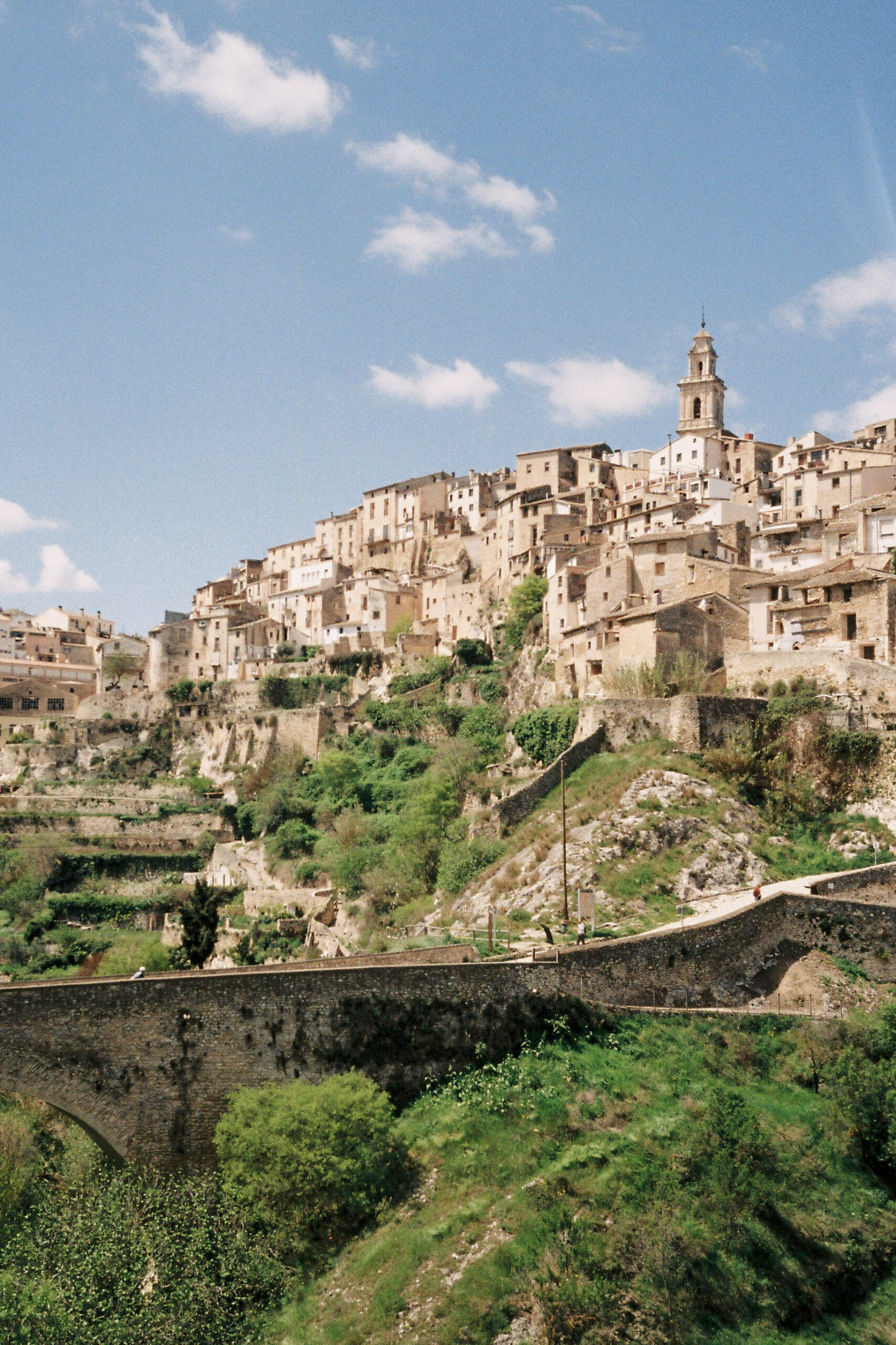
Bocairent is undoubtedly one of the most unique and beautiful villages in the province of Valencia. And, entering by bike across the bridge Darrere la Vila, one of the highlights of this segment.
The last of the mountain ranges that we will cross on this section is Sierra de l’Ombria, before arriving at Fontanars dels Alforins. A small town located in a modest plateau and sometimes nicknamed the Tuscany of Valencia. The last kilometers of this track will allow you to relax your legs in a landscape dominated by vineyards before reaching Font de la Figuera.
SEGMENT 1:
Gandia - Font De La Figuera
105 Km – 2.120 m
In just 100km, and playing «Sambori» on the border between Valencia and Alicante, this first part of the route will take us from the fertile plain of La Safor to one of the eastern edges of the province of Valencia, on the boundary between the Castilian plateau and the Levantine mountain ranges.
After a few kilometers of rather flat terrain through the fields of Gandía, the route will take us along the most spectacular stretch of the Serpis greenway, the part between Villalonga and L’Orxa.
The first meters of ascent starts after Beniarrés, to climb up to the Benicadell and Agullent mountain ranges. In this second mountain range we will find the first free refuge that we will come across, small and without a nearby fountain, but quite peculiar, near the Cava de la Pedrera.
Bocairent is undoubtedly one of the most unique and beautiful villages in the province of Valencia. And, entering by bike across the bridge Darrere la Vila, one of the highlights of this segment.
The last of the mountain ranges that we will cross on this section is Sierra de l’Ombria, before arriving at Fontanars dels Alforins. A small town located in a modest plateau and sometimes nicknamed the Tuscany of Valencia. The last kilometers of this track will allow you to relax your legs in a landscape dominated by vineyards before reaching Font de la Figuera.
SEGMENTO 2:
Font De La Figuera - Cortes
139 Km – 2.553 M
Drawing a line to cross this region, between Ayora, Enguera, the Caroig Massif and the Muela de Cortes, has been anything but easy. Area included in the cataloged as Sierra Levantina, the third region of Spain with lower population density, will be one of the most isolated sections of the route.
We have tried to reach a compromise between manageable distance between villages, unevenness and to cross enclaves of special interest. But we warn you, this segment requires preparation and experience, so plan well before entering the Barranc de Vallmelós. Between Camping de los Carasoles (km 20) -with a small shop- and Bicorp (km 85) there are 65km where the only thing you will find is Camping de los Botijos (km 67), which is not always open. And between Bicorp and Cortes you have 53 kms in which you will not even find a fountain.
Despite the magnetism that surrounds the summit of Caroig and its 1126m, its difficulty and the distance between villages forced us to opt for other roads. However, the views you will have of this mountain at some points in this area are really beautiful. You don’t always have to climb a mountain to appreciate it.
By contrast, passing through Bicorp put in our way the Fraile river (km68), the Camino de la Solana (km 89), the Alto del Cinto Cabra (1018m, km 110), the Casa del Empalme (refuge, km 121) and the spectacular asphalted track of Cortes – Otonel (km 128). The result is worth to be pedaled without haste.
SEGMENT 2:
Font De La Figuera - Cortes
139 Km – 2.553 M
Drawing a line to cross this region, between Ayora, Enguera, the Caroig Massif and the Muela de Cortes, has been anything but easy. Area included in the cataloged as Sierra Levantina, the third region of Spain with lower population density, will be one of the most isolated sections of the route.
We have tried to reach a compromise between manageable distance between villages, unevenness and to cross enclaves of special interest. But we warn you, this segment requires preparation and experience, so plan well before entering the Barranc de Vallmelós. Between Camping de los Carasoles (km 20) -with a small shop- and Bicorp (km 85) there are 65km where the only thing you will find is Camping de los Botijos (km 67), which is not always open. And between Bicorp and Cortes you have 53 kms in which you will not even find a fountain.
Despite the magnetism that surrounds the summit of Caroig and its 1126m, its difficulty and the distance between villages forced us to opt for other roads. However, the views you will have of this mountain at some points in this area are really beautiful. You don’t always have to climb a mountain to appreciate it.
By contrast, passing through Bicorp put in our way the Fraile river (km68), the Camino de la Solana (km 89), the Alto del Cinto Cabra (1018m, km 110), the Casa del Empalme (refuge, km 121) and the spectacular asphalted track of Cortes – Otonel (km 128). The result is worth to be pedaled without haste.
SEGMENTO 3:
Cortes - Siete aguas
64,7 km – 1.520 m
The orography in this area is quite complex as you may have already seen. The cut on the land that the Xúquer draws is truly spectacular all the way to the Ribera Alta. Barely salvageable at a few points, we chose to cross it through Cortes, perhaps the area where it reaches its full magnitude.
Due to the Cofrentes nuclear power plant, from which we will see its unique steam cloud, many of the kilometers of forest tracks in this area were paved. That is why the short and hard slopes typical of the Valencian territory that you will have already experienced, will continue to be a constant here but in an asphalt version.
Crossing the Martés and Malacara mountains will take us through the small villages of La Cabezuela, Fuen Vic and Mijares.
In this section, taking a short detour after the La Canaleja spring, we will find the Coto Ferrer Free Refuge, without water and somewhat neglected, but quite spacious.
Siete Aguas is also one of the escape points of the route if you do not have time to complete it in one go. Accessible by regional train, if you don’t make it to the last train of the day, you can always make the 10km descent that separates you from Buñol to catch a commuter train, with a much longer timetable.
SEGMENT 3:
Cortes - Siete Aguas
64,7 km – 1.520 m
The orography in this area is quite complex as you may have already seen. The cut on the land that the Xúquer draws is truly spectacular all the way to the Ribera Alta. Barely salvageable at a few points, we chose to cross it through Cortes, perhaps the area where it reaches its full magnitude.
Due to the Cofrentes nuclear power plant, from which we will see its unique steam cloud, many of the kilometers of forest tracks in this area were paved. That is why the short and hard slopes typical of the Valencian territory that you will have already experienced, will continue to be a constant here but in an asphalt version.
Crossing the Martés and Malacara mountains will take us through the small villages of La Cabezuela, Fuen Vic and Mijares.
In this section, taking a short detour after the La Canaleja spring, we will find the Coto Ferrer Free Refuge, without water and somewhat neglected, but quite spacious.
Siete Aguas is also one of the escape points of the route if you do not have time to complete it in one go. Accessible by regional train, if you don’t make it to the last train of the day, you can always make the 10km descent that separates you from Buñol to catch a commuter train, with a much longer timetable.
SEGMENT 4:
Siete Aguas - Sinarcas
96,1 Km – 2.280 M
Siete Aguas marks the halfway point of the Camí dels Assagadors, an enclave between the high plateau of Utiel-Requena and the huerta of Valencia. For us it will be a good place to refuel, recalculate and continue towards the Geological Natural Park of Chera – Sot de Chera and the Biosphere Reserve of Alto Turia.
After leaving Siete Aguas, and after a few ramps, we will reach a very special place, at least for us, the Fuente Vallesa. Heart of a small plateau sparsely inhabited, dotted with vineyards and where it seems incredible that you are only 40 km as the crow flies from the city of Valencia.
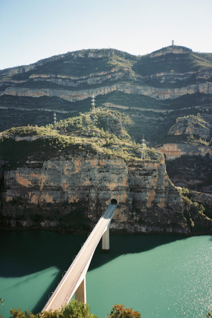
We will continue a few kilometers quite relaxed until the track overlooks the rift valley where Chera, Sot de Chera and the Buseo reservoir are located. In the latter you will find the only free camping area of the entire route.
From Chera you have enough unevenness and 60 kilometers to Sinarcas, leave the town of Chera ready to face several hours of pedaling through the Biosphere Reserve of Alto Turia. However, if necessary, from Collado Nieva, you can drop down to the village of Benagéber (4’6 km) and refill water and food before rejoining the track.
In these 60 kilometers we will pass at the foot of the Rope peak, we will fly through a high altitude track with several hills before spreading out towards one of the canyons that make up the Turia riverbed, before riding next to the Benagéber reservoir and suffering a little before arriving at Sinarcas.
SEGMENT 4:
Siete Aguas - Sinarcas
96,1 Km – 2.280 M
Siete Aguas marks the halfway point of the Camí dels Assagadors, an enclave between the high plateau of Utiel-Requena and the huerta of Valencia. For us it will be a good place to refuel, recalculate and continue towards the Geological Natural Park of Chera – Sot de Chera and the Biosphere Reserve of Alto Turia.
After leaving Siete Aguas, and after a few ramps, we will reach a very special place, at least for us, the Fuente Vallesa. Heart of a small plateau sparsely inhabited, dotted with vineyards and where it seems incredible that you are only 40 km as the crow flies from the city of Valencia.
We will continue a few kilometers quite relaxed until the track overlooks the rift valley where Chera, Sot de Chera and the Buseo reservoir are located. In the latter you will find the only free camping area of the entire route.
From Chera you have enough unevenness and 60 kilometers to Sinarcas, leave the town of Chera ready to face several hours of pedaling through the Biosphere Reserve of Alto Turia. However, if necessary, from Collado Nieva, you can drop down to the village of Benagéber (4’6 km) and refill water and food before rejoining the track.
In these 60 kilometers we will pass at the foot of the Rope peak, we will fly through a high altitude track with several hills before spreading out towards one of the canyons that make up the Turia riverbed, before riding next to the Benagéber reservoir and suffering a little before arriving at Sinarcas.
SEGMENT 5:
Sinarcas - La Yesa
83,8 km – 1.790 m
In this section you will ride through one of the extremes of the so-called Serranía Celtibérica, the Spanish Lapland. In addition, we will make a small incursion into La Mancha territory to approach the Talayuelas lagoons and the Mirador de la Olla viewpoint, before re-entering the Alto Turia Biosphere Reserve via the north face of the Picarcho and the Casas de Bercolón.
Once we have crossed the Puente del Marqués bridge, we go up the Turia for a few kilometres before climbing almost to the top of Mampedroso to be able to see Cuenca, Teruel and the Rincón de Ademuz at the same time.
Of all the sections, the most numerous are the free access refuges, up to 5, all of them in the Alto Turia area. Remember to use them responsibly so that we can all enjoy them.
After the first part of the track it is quite isolated and without passing through towns or drinking water sources, once you reach Aras de los Olmos, the human presence becomes more abundant again, passing through several villages belonging to the municipality of Alpuente; Vizcota, Corcolilla, la Almeza and la Cuevarruz, before reaching the village of La Yesa.
SEGMENT 5:
Sinarcas - La yesa
83,8 km – 1.790 m
In this section you will ride through one of the extremes of the so-called Serranía Celtibérica, the Spanish Lapland. In addition, we will make a small incursion into La Mancha territory to approach the Talayuelas lagoons and the Mirador de la Olla viewpoint, before re-entering the Alto Turia Biosphere Reserve via the north face of the Picarcho and the Casas de Bercolón.
Once we have crossed the Puente del Marqués bridge, we go up the Turia for a few kilometres before climbing almost to the top of Mampedroso to be able to see Cuenca, Teruel and the Rincón de Ademuz at the same time.
Of all the sections, the most numerous are the free access refuges, up to 5, all of them in the Alto Turia area. Remember to use them responsibly so that we can all enjoy them.
After the first part of the track it is quite isolated and without passing through towns or drinking water sources, once you reach Aras de los Olmos, the human presence becomes more abundant again, passing through several villages belonging to the municipality of Alpuente; Vizcota, Corcolilla, la Almeza and la Cuevarruz, before reaching the village of La Yesa.
SEGMENTO 6:
La Yesa - Sagunt
131 km – 2.270 m
A long stretch, where the route finally heads east towards the Mediterranean. But in between, a good handful of mountains between Javalambre and Calderona, including the highest point of the route, the old military base of El Toro at 1571m, now abandoned.
We set off from La Yesa looking first for the village of Abejuela and then the Ermita de Santa Margarita. The vegetation and the landscape soon make it clear that you are in Teruel.
After a few kilometres pedalling at an altitude of over 1400m and with a strong aroma of Montañas Vacías, from La Salada we will drop down to another hermitage also consecrated to Santa Margarita, but this time accompanied by an austere refuge and a fountain. Without descending to the village of Andilla, and witnessing the brutal fire that in 2022 devastated almost 20,000ha of the Alto Palancia, we will go directly to Alcublas, passing through the villages of Canales and Oset.
To take this adventure to the end, a succession of high altitude tracks awaits you to access Gátova, Tristán, the Serra castle and finally the Garbí, the emblematic summit of the Calderona, from where you will drop down, now you’re really there, to Estivella and Sagunto.
SEGMENTO 6:
La yesa - Sagunt
131 km – 2.270 m
A long stretch, where the route finally heads east towards the Mediterranean. But in between, a good handful of mountains between Javalambre and Calderona, including the highest point of the route, the old military base of El Toro at 1571m, now abandoned.
We set off from La Yesa looking first for the village of Abejuela and then the Ermita de Santa Margarita. The vegetation and the landscape soon make it clear that you are in Teruel.
After a few kilometres pedalling at an altitude of over 1400m and with a strong aroma of Montañas Vacías, from La Salada we will drop down to another hermitage also consecrated to Santa Margarita, but this time accompanied by an austere refuge and a fountain. Without descending to the village of Andilla, and witnessing the brutal fire that in 2022 devastated almost 20,000ha of the Alto Palancia, we will go directly to Alcublas, passing through the villages of Canales and Oset.
To take this adventure to the end, a succession of high altitude tracks awaits you to access Gátova, Tristán, the Serra castle and finally the Garbí, the emblematic summit of the Calderona, from where you will drop down, now you’re really there, to Estivella and Sagunto.